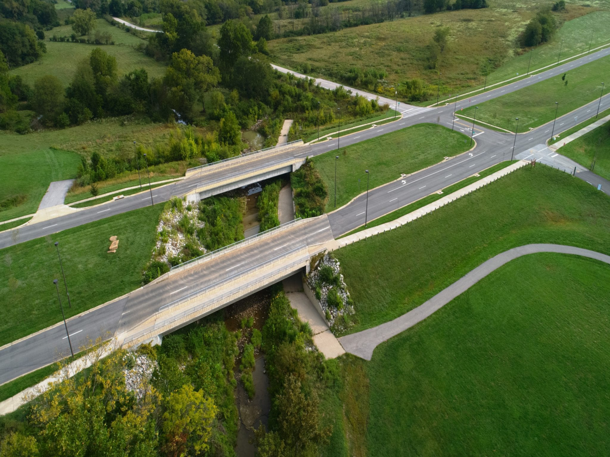
Shoal Creek Parkway is on the City of Kansas City,…
AT YOUR SERVICE
There is more than meets the eye when looking at a piece of land. We specialize in understanding a piece of land including how much space is available, existing physical features of the site and its overall current condition! Our surveyors utilize advanced technology including electronic data collectors, GPS, and robotics to ensure we quickly collect data that is required for your project. Our surveyors work extensively with designers to evaluate all possible design and layout options for project development and engineering design & layout.



Shoal Creek Parkway is on the City of Kansas City,…
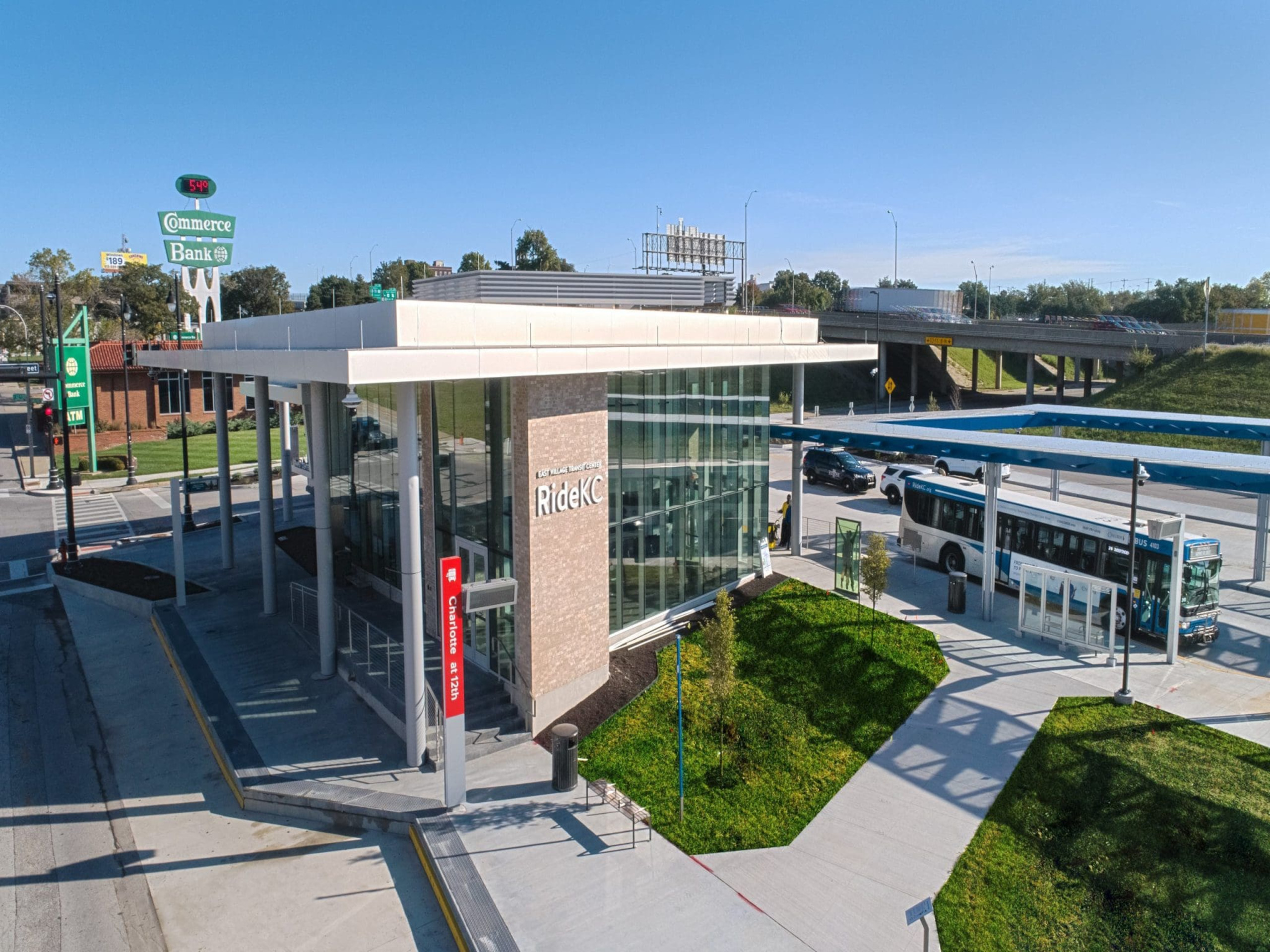
Prospect MAX is KCATA’s third Bus Rapid Transit (BRT) route…
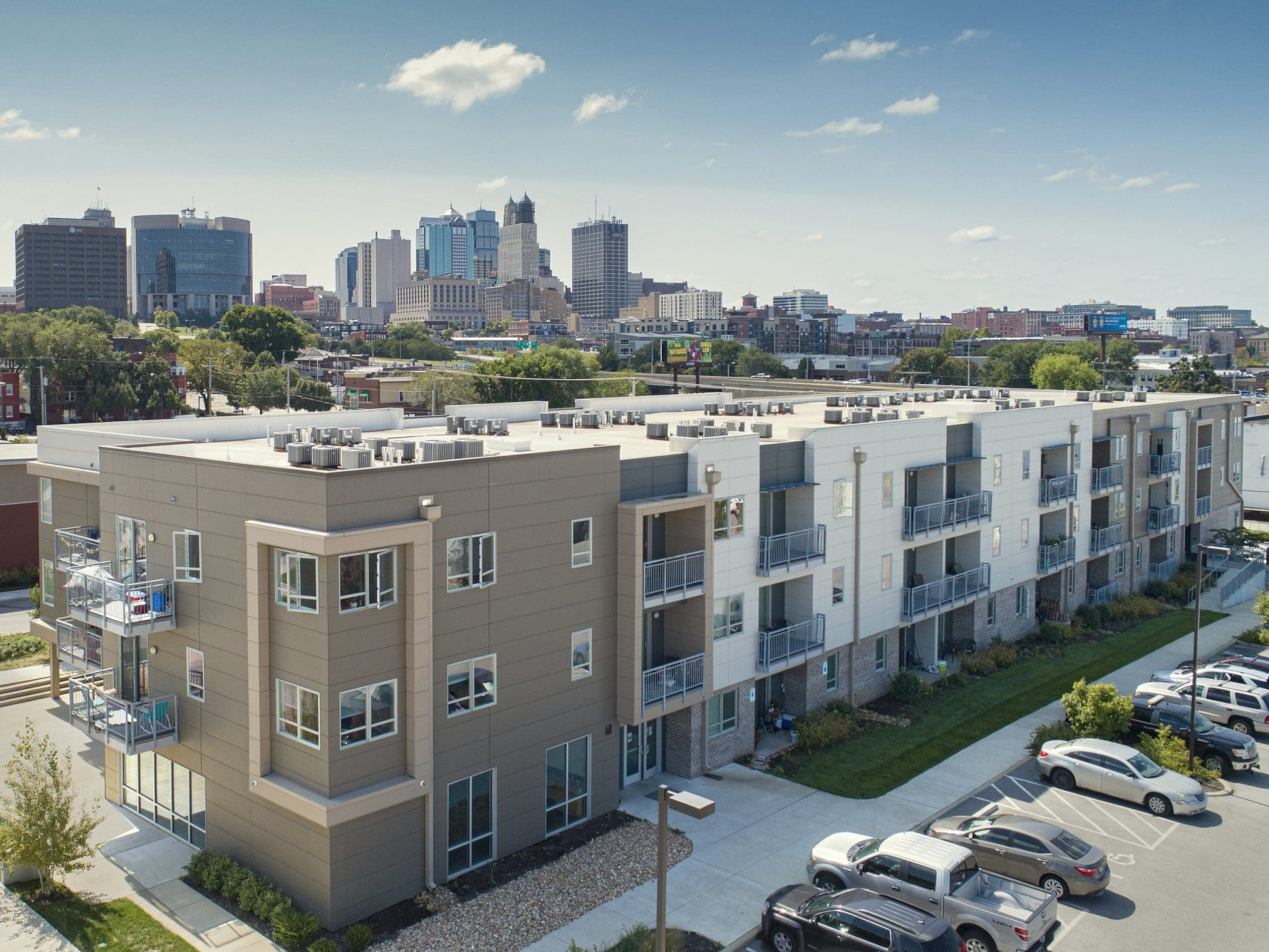
Columbus Park Lofts is the first phase of residential housing…